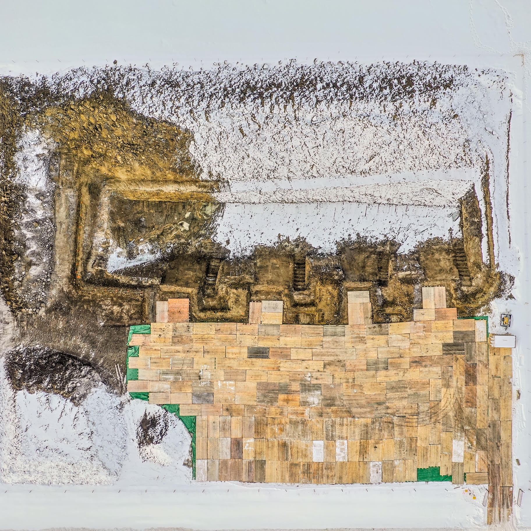
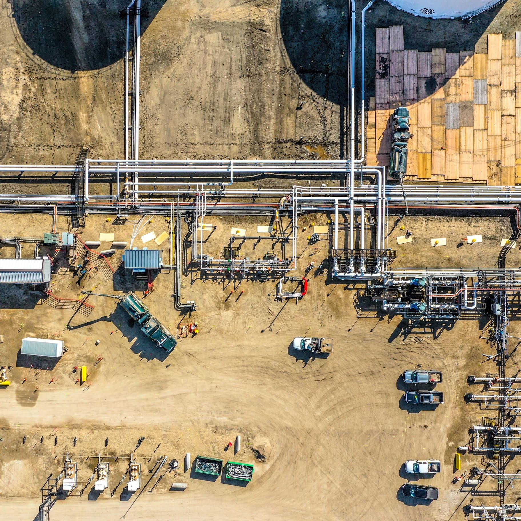
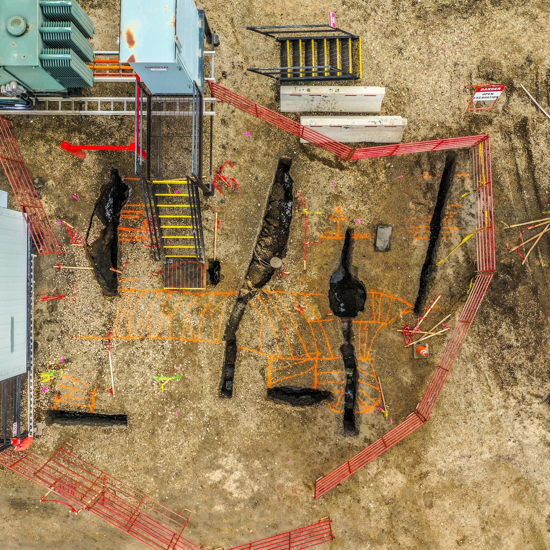
Aerial land and property surveys provide higher quality photos than satellite images and more accurate in-situ representations of properties compared to drawings. If you’re doing a property inspection, applying for development permits or doing an appraisal having highly accurate, up to date images will make a huge difference.